
Sand Hill and Portola Roads (Secrets of the Loop)
/Published Cycle California, April 2017, Vol. 23, #4
There are two kinds of Peninsula Loop bikers: those who bike the 11.5-mile long Loop in Portola Valley clockwise and those who bike counter-clockwise. They both begin from Santa Cruz Avenue, built in 1868 as a toll road from Menlo Park to the coastal town. The Loop done clockwise takes off on Alpine Road, once the cattle-drive trail down the ridge from a coast-side ranch. Counter-clockwise doing the Loop starts up Sand Hill Road, long ago the log haul route around Mexican land grants to El Camino Road, then just the main dirt road to San Jose and Mission Santa Clara.
Sharon Heights was the estate of Frederick Sharon, son of William Sharon, a larger than life silver mining millionaire, San Francisco banker and Nevada Senator. For the bicyclist, Sharon Heights now contains a test of mountainous-named streets including Whitney, short and steep at 14%.
Less flamboyant than the senior Sharon but as fabulously wealthy, Leland Stanford, former California Governor and Senator, bought property on the left side of Sand Hill Road, with a large portion now used for the Stanford Linear Accelerator Center. SLAC has produced three Nobel Prize awards amongst six individuals for work done in the late ‘60s and mid-‘70s. Across the street, on the right, are financial and venture capital offices that were a few years ago deemed more expensive than Manhattan or London’s West End. This boulevard of stoplights divides quarks and IPOs on opposite sides of the street.
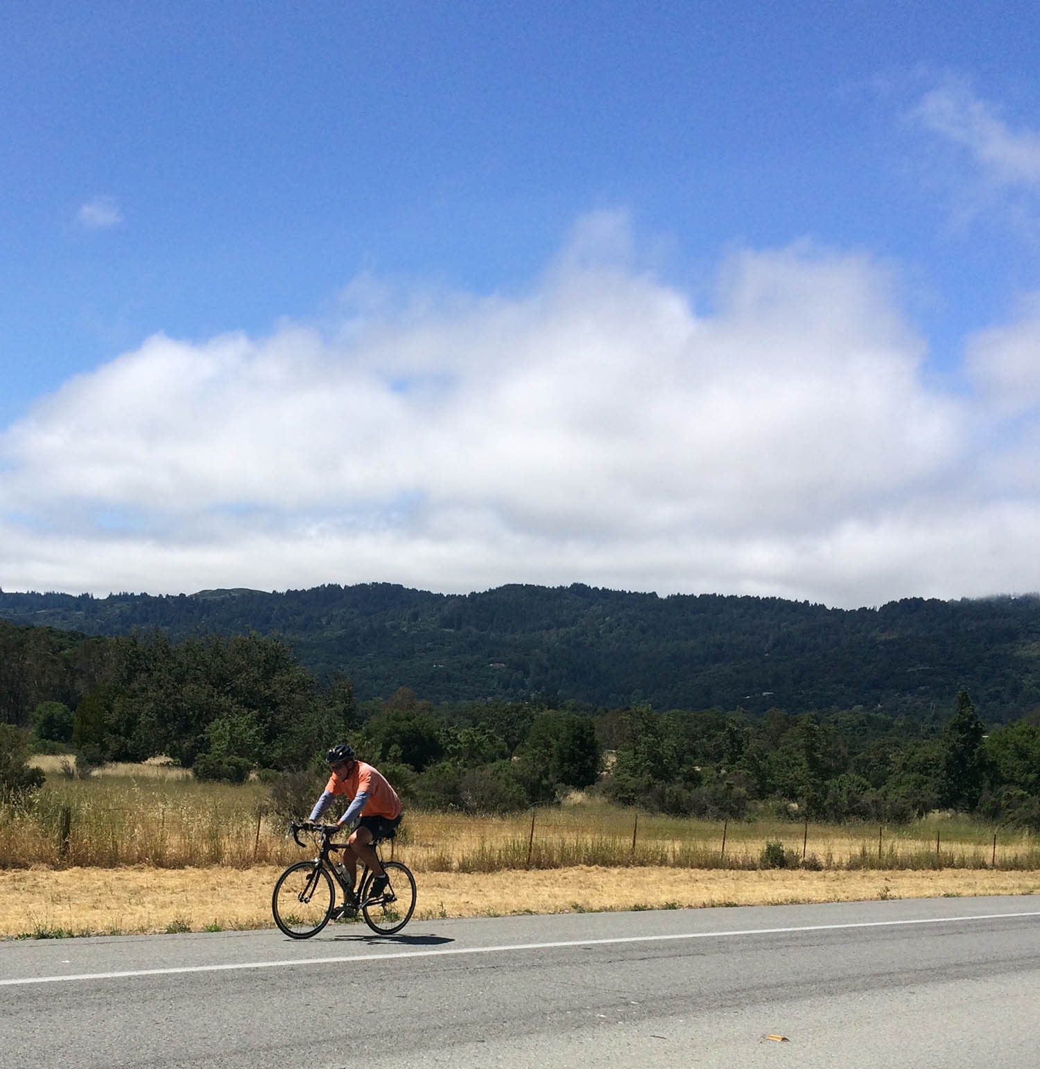
Meanwhile you’re climbing about 3%-4% average to a crest opposite the relatively new Rosewood Sand Hill luxury hotel. As you descend toward I-280, you might bear right onto Old Sand Hill Road to seek a stone monument, tucked under a pine tree knoll between the old road and newer on-ramp. A mounted plaque tells of a St. Denis Church and Cemetery that once existed in the late 1800s nearby across I-280. To venture toward the open grasslands and rolling hills, you first have to leave the last stoplight and cross the overpass via a marked bike lane exposing you to vehicles on either side.
Once past the on-ramp, you begin a 100-foot-plus 5% climb. Sand Hill Road was once an early log-haul road utilized by Dennis Martin, creator of the church as well as a rancher with a sawmill in the redwoods ahead. His ranch, begun when his land was still part of Mexico’s Alta California, is gone and his acres now fallow, with the exception of the partially visible SLAC shed where colliding particles revealed the secrets of the atom. Just over the welcome crest is the CTETA horse park on the right. You may never find another bicyclist who knows that the initials stand for Cross Timbers Equestrian Trail Association.
Ahead is a spectacular view of the dark green slopes of the Pacific tectonic plate, inching its way to Alaska, with its ravines draining your direction onto the North American plate and into hidden Searsville Lake. Flowing from the lake, San Francisquito Creek on your left cuts past the base of Jasper Ridge. A thousand years ago, waters downstream carried the seed of El Palo Alto, the city’s namesake ancient redwood rooted on the gulch’s right bank.
Meanwhile, you’re descending a 3.5% grade. Below you pass the right-hand turn to Whiskey Hill Road, graded in 1863 as another log-haul road to Woodside’s high point in town, where teamsters once took a break along with a glass or two. Next you pass the gentler and shadier Manzanita Road, also leading to Woodside. Take either one and, under two miles later, you’ll reach a four-way junction at Woodside’s Roberts Market where you have several options, including even looping back to the Loop on Mountain Home Road, just over 2 miles, or a longer Woodside Road circuit, just over 3 miles.
Sand Hill Road becomes Portola Road near the Mountain Home Road junction, where a monument stands on the right to the former logging town and stage-stop of Searsville. The town was dismantled in the 1880s for the fenced and gated-off reservoir on your left and out of sight, now part of Stanford University’s biological preserve. Just ahead past several stables on the right is Old La Honda Road, a popular three-mile climb up to Skyline Boulevard. Portola Road immediately crosses a deep, shaded gulley on the right, identified on an OLH Road bend as Dennis Martin Creek, where Martin had two sawmills operating upstream.
Portola Road enters the fault zone and Portola Valley, named for the 18th century Spanish expedition leader. Several intriguing residential roads, mostly private and all dead ends, appear on the right ascending the heavily vegetated ridge. The bottom of Hayfields Road is public with a strenuous 16% steep. Santa Maria Avenue, the entrance to Woodside Highlands, looks public but has private signage. Wayside Road, mostly public, parallels a most scenic and deep ravine on the left. It continues past hillside homes, covering over a mile with an average 9% grade. Biking uphill, it’s hard to achieve the 5 MPH maximum speed. Enjoy the view if you go because downhill you’re attention is fixed on braking back to Portola Road. The Loop then turns along the wide fault zone as the road passes by the Town Center and climbs steadily at 3% toward a recently remodeled turret-style stone house. Along the way, you’ve passed Westridge Drive on the left, which is a rolling Loop detour with a 13% stretch that takes you over the ridge to Alpine Road. Cutting a little distance off Westridge is an even steeper shortcut, up to 18%, improbably named Cervantes Road for the early 17th century best selling author. Or, if you’re feeling like exploring something less daunting, you could search out Possum Lane or Iroquois Trail amongst other buried byways on the left. Willowbrook Drive provides an alternative on the right as it follows a short segment of fault trace toward Upper Alpine Road and Corte Madera Creek. Otherwise, you continue past the fire station and gas station to the stop sign junction at the high point of the Loop, almost 200-feet taller than the top of Sand Hill Road. From there you get 3 miles downhill on Alpine Road to the I-280 stop sign and then another mile to the stoplights of Santa Cruz Avenue, completing the Loop.
Setting out on the Loop counterclockwise, the miscellaneous side roads off Sand Hill and Portola Roads offer adventuresome sidetracks. Otherwise, you can cover directly the 7 miles and 700-feet to the Portola Road intersection with Alpine Road, biking across tectonic plates while leaving behind the freeway and stoplights.
